Oceans Were Never Walls
What the confirmed cases of pre-Columbian trans-oceanic contact reveal about ancient maritime capability, and what they do not yet prove.
Traditions analyzed in this research
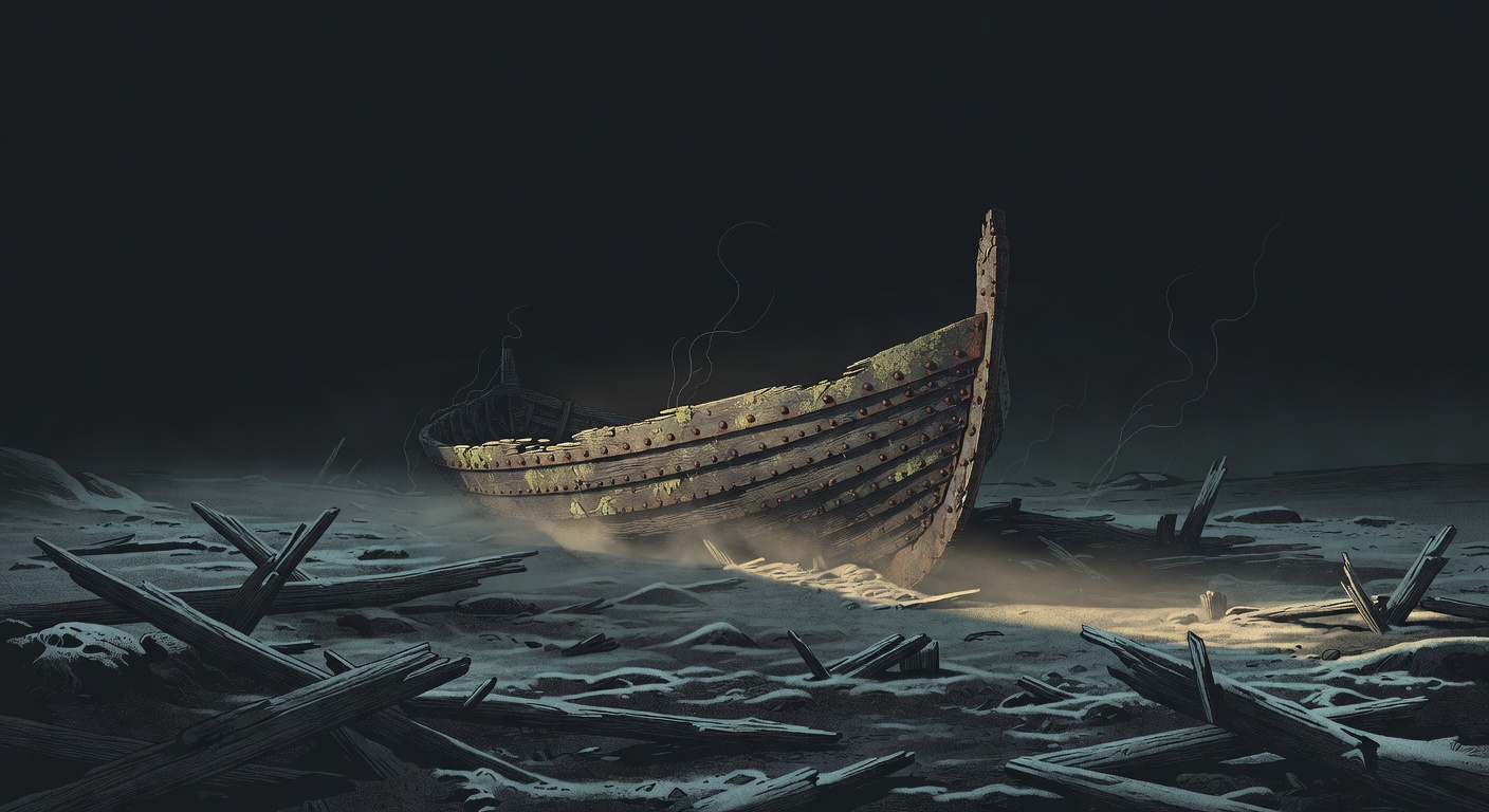
Grok Imagine / xAI · AI Generated
Did anyone cross the ocean before Columbus? Not just Vikings—anyone? The question sounds fringe until you look at what's actually been proven.
Two crossings are now settled science. Norse sailors reached Newfoundland in exactly 1021 CE. Polynesian voyagers made contact with South Americans around 1200 CE. That second one is confirmed by genetics, botany, and linguistics independently. Three sciences that can't contaminate each other all point to the same event. The largest ocean on Earth was crossed intentionally, centuries before Europe noticed.
But here's what makes this complicated. Those two confirmed crossings set a brutally high evidentiary bar. The Phoenicians had the ships and the motive. They had everything except proof they actually went. What does it mean when capability is overwhelming but evidence is completely absent?
For most of the twentieth century, professional archaeology treated pre-Columbian ocean crossings as a crank topic. The dominant model held that after the land bridge migrations from Asia, the Americas were essentially sealed off until 1492. Anyone who suggested otherwise got lumped in with Atlantis enthusiasts and ancient astronaut theorists. Thor Heyerdahl's raft and reed boat expeditions in the 1940s through 1970s proved that primitive vessels could survive ocean crossings, but proving a boat can make the trip is not the same as proving anyone actually did. The academic mainstream shrugged.
Then the physical evidence started arriving. In the 1960s, excavations at L'Anse aux Meadows in Newfoundland confirmed what the Norse sagas had described. Decades later, genomic sequencing technology matured enough to detect ancient admixture events with precision no previous generation of scientists could have imagined. A 2020 study in Nature identified Polynesian and Native South American genetic mixing that predated European contact by centuries. Suddenly the fringe question had two rigorously confirmed answers, and neither one involved Europeans sailing west from Iberia.
Those confirmations transformed the debate from whether anyone crossed to how we distinguish real crossings from plausible ones that never happened. The evidentiary bar is now explicit and unforgiving. You need independent, converging proof across multiple disciplines. And that standard is precisely what makes the remaining claims so interesting to evaluate.
The confirmed crossings leave a paper trail so specific you can trace exactly how the evidence stacked up. Here's what each case actually rests on.
The Oral Traditions Were Right
For centuries, the Vinland Sagas were dismissed as Norse mythology. Nobody in mainstream scholarship believed them. Then archaeologists dug up a site in Newfoundland and found Norse architecture, a bronze cloak pin, and iron-smelting technology that no Indigenous group in the region used. Tree-ring dating pinned it to 1021 CE. The oral traditions had been right for five hundred years while the experts were wrong.
The Vinland Sagas were classified as mythology by professional historians until a physical site matched their descriptions in every archaeologically testable detail.
One confirmed crossing was extraordinary. Then a second emerged on stronger evidence.
Three Independent Sciences Agree: Polynesians Reached South America
Three completely separate scientific fields confirmed the same event without any shared assumptions. Botanists showed the sweet potato left South America for Polynesia before Europeans arrived. Linguists matched the Quechua word 'kumar' to the Polynesian 'kumara.' A 2020 genomic study found Native American DNA in Polynesian populations dating to around 1200 CE. When three independent sciences agree, the case is closed.
A plant, a word, and a genome all independently point to the same voyage at the same time to the same region - and none of the three scientists needed the others to reach that conclusion.
But both cases raise a harder question about how they navigated at all.
Navigation Without Instruments Across 2,400 Miles
The biggest objection to ancient ocean crossings was always navigation. No compass, no sextant—how? In 1976, navigator Mau Piailug sailed a traditional canoe 2,400 miles from Hawaii to Tahiti using only stars, swells, and bird behavior. No instruments at all. Marshall Islands stick charts prove this wasn't one genius—it was a teachable, transmissible system of science.
A navigator from a small Pacific island crossed 2,400 miles of open ocean without a single instrument, using a knowledge system that had been encoded in woven stick charts for generations.
That evidence doesn't simplify the bigger question—it sharpens it. The same findings that vindicate two crossings make every other claim harder to defend.
The DebateTwo Cases. You Decide.
The confirmed crossings prove the skeptics were wrong before. The absence of evidence for every other claim proves they're usually right. Both of those facts are true at the same time, and that's the actual problem.
Mainstream scholars dismissed the Viking sagas as myth for centuries. They were provably wrong. The Polynesian case is even stronger—three independent sciences converging on the same contact event around 1200 CE. If institutional confidence failed this badly twice, what else is being dismissed that the evidence hasn't caught up to yet?
Every confirmed crossing met an extraordinary standard: datable artifacts, unambiguous cultural signatures, independent genetic proof. The Phoenicians meet none of it. No artifact, no DNA, no text. Borrowing credibility from the Norse and Polynesian cases to prop up claims with zero physical evidence isn't open-mindedness—it's evidential laundering.
That disagreement didn't start with modern science. Communities across centuries and oceans have been telling stories about these same voyages from angles that barely overlap.
In Their Own WordsHow Different Cultures Tell It
The Vinland Sagas describe the Norse discovery of North America in the same register as other Norse historical accounts - matter-of-fact, genealogically anchored, and specific about navigational details. Leif Eriksson's voyage is described as following the route of Bjarni Herjolfsson, who had sighted the land but not landed. The sagas name three distinct lands: Helluland (flat stone land, identified with Baffin Island), Markland (forest land, identified with Labrador), and Vinland (wine land, identified with Newfoundland or further south). The encounters with 'Skraelings' (indigenous peoples) are described with the same practical interest as encounters with any trading partner or adversary. The Norse tradition does not frame the Vinland voyages as heroic exploration but as practical attempts at resource extraction and colonization that ultimately failed because of conflict with the indigenous population.
Marshallese navigators describe the ocean as a system of intersecting swell patterns that can be felt through the hull of the canoe and through the navigator's body. The stick charts (mattang for learning, meddo for specific routes, rebbelib for the whole island chain) are not maps in the Western sense - they are three-dimensional models of ocean dynamics that are studied on land and then left behind when the voyage begins, because the knowledge must be internalized in the body, not consulted as a reference. The shells on the charts represent islands; the curved sticks represent swell patterns bending around islands; the straight sticks represent primary swell directions. A navigator who has mastered the mattang can feel the island before seeing it, through the change in swell pattern as the canoe approaches land.
Strong convergence
Not a truth score. This measures how consistently unconnected cultures describe the same specific narrative elements — nothing more. How it's calculated →
The full picture on Oceans Were Never Walls is free.
6 findings, 9 cultural perspectives, full debate, timeline, sources with credibility ratings — everything, free with an account. No ads, no sponsors.
People & institutions referenced
Gavin Menzies
Personresearcher
Authored the 2002 book '1421: The Year China Discovered the World', claiming a Ming Dynasty fleet discovered the Americas; the thesis was universally rejected by professional historians and sinologists for lack of primary evidence and misinterpretation of sources.
Mau Piailug
Personhistorical figure
Navigated the Hōkūleʻa's 1976 Hawaii-to-Tahiti voyage using traditional Micronesian non-instrument wayfinding, empirically validating that such techniques were sufficient for intentional trans-oceanic voyaging.
Svetla Balabanova
Personresearcher
Conducted a 1992 toxicological study reporting cocaine and nicotine in Egyptian mummies, a finding met with institutional rejection from Egyptologists who cited potential modern contamination and absence of supporting archaeological evidence for pre-Columbian trans-Atlantic trade.
Anne Stine Ingstad
Personresearcher
Anne Stine Ingstad was a Norwegian archaeologist known for co-leading the excavations at L'Anse aux Meadows from 1961-1968, providing evidence of Norse pre-Columbian contact with North America. She studied at the University of Oslo in the 1950s, earning her Master's in 1960, and later held a curatorial position at the Norwegian Forest Museum before resigning in 1961. She collaborated closely with her husband, Helge Ingstad, on the L'Anse aux Meadows expedition, and received an honorary doctorate from Memorial University in 1979.
Thor Heyerdahl
Personhistorical figure
Norwegian adventurer, ethnographer, and experimental archaeologist known for the 1947 Kon-Tiki expedition and theories about ancient trans-oceanic contact between civilizations.
Helge Ingstad
Personresearcher
One of the Ingstads whose excavations at L'Anse aux Meadows confirmed the Norse pre-Columbian settlement in Newfoundland, validating the Vinland Sagas.
Parks Canada
Institutionresearcher
Confirmed and managed the L'Anse aux Meadows archaeological site, contributing to the dendrochronological dating and official recognition of the Norse settlement.
Nature
Institutionpublisher
Published the landmark 2020 genomic study documenting the genetic admixture signal confirming pre-Columbian contact between Polynesian voyagers and Native Americans.